Peoria County is named for the Indian tribe called the Peorias, one of the tribes from the Illinois confederacy.
Surrounding County Courthouses:
N – Stark County and Marshall County
E – Marshall County, Woodford County and Tazewell County
S – Tazewell County
W – Fulton County and Knox County
Created: January 13, 1825 
County Seat:
Peoria 1825 – present
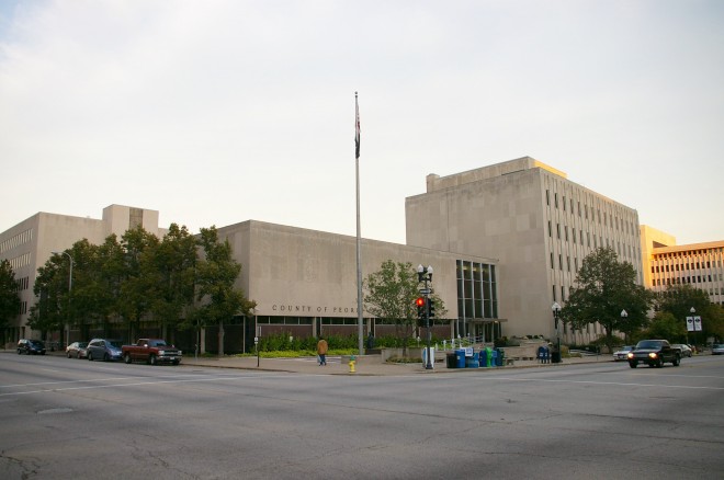
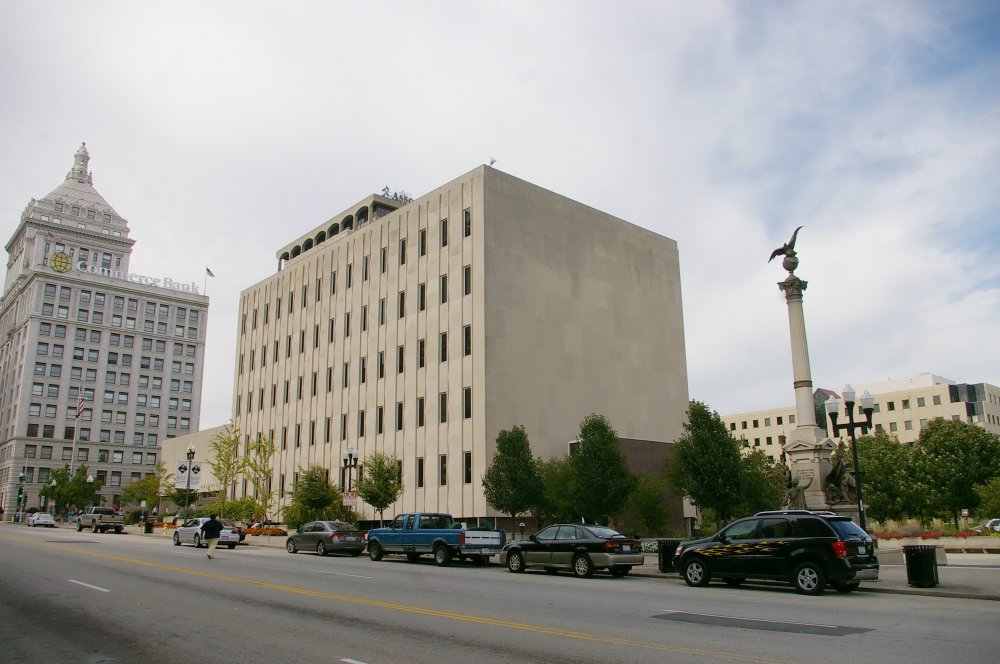
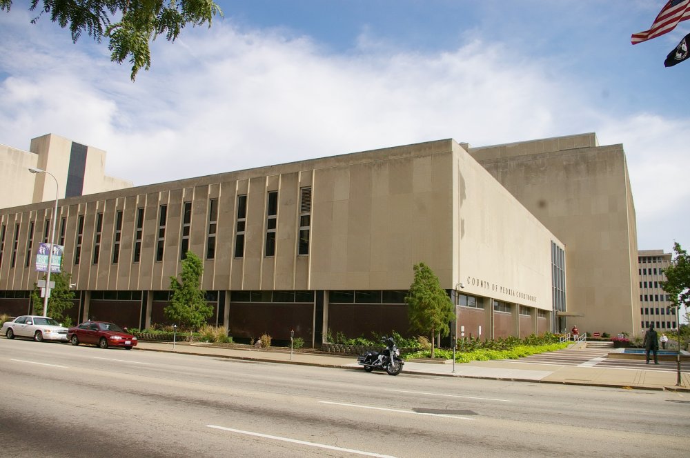
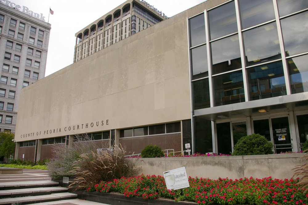
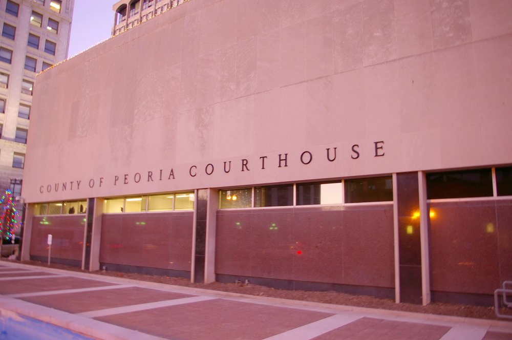
County Courthouse – Peoria
Location: 324 Main Street / Jefferson Avenue
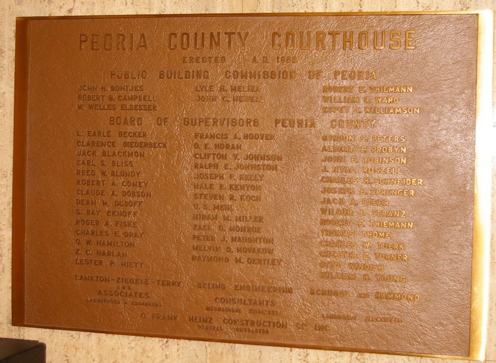
Built: 1962 – 1964
Style: Modern
Architect: Lankton-Ziegele Terry & Associates
Contractor: O Frank Heinz Construction Company
Description: The building faces south and is a two story stone, concrete and glass structure. Along the first story is dark polished stone divided by narrow stone faced dividers and with narrow windows above the stone. On the east section of the south side, windows extend above the main glass entrance. On the east side and north side are five story light stone faced rectangular wings. The roof line is flat. An addition was constructed on the north side from 1988 to 1990. The architect was Phillips Swager Associates Inc. and the contractor was C Iber & Sons Inc.
See: The 10th Judicial District includes Marshall County, Putnam County, Stark County and Tazewell County.
County Courthouse – Peoria
Photos taken 2007, 2010 and 2012

