Independence County is named for the Declaration of Independence.
Surrounding County Courthouses:
N – Izard County, Sharp County and Lawrence County
E – Jackson County
S – Jackson County and White County
W – Cleburne County and Stone County
Created: October 23, 1820 
County Seat:
Batesville 1820 – present
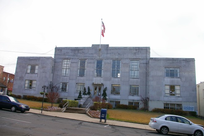
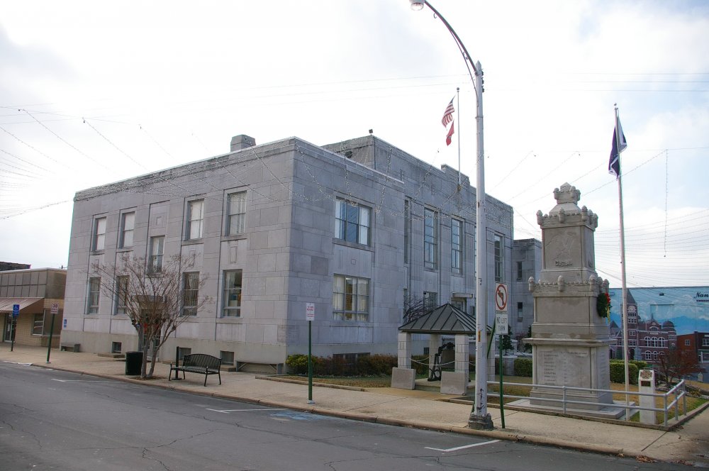
County Courthouse – Batesville
Location: 192 East Main Street / Broad Street
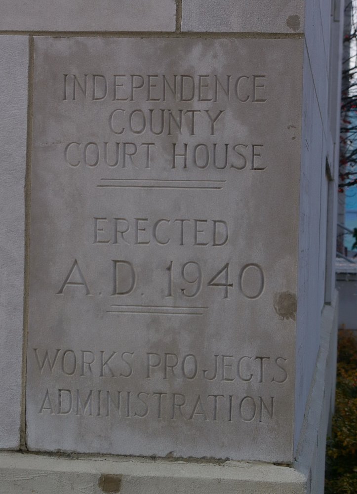
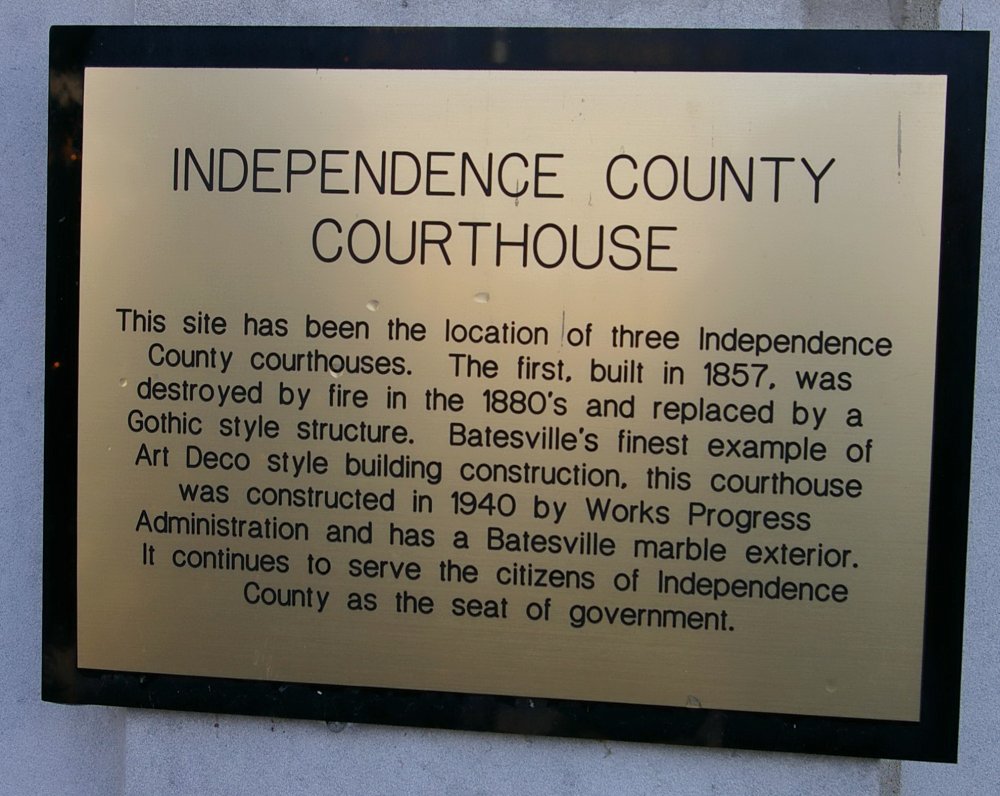
Built: 1940 – 1941
Style: Art Deco
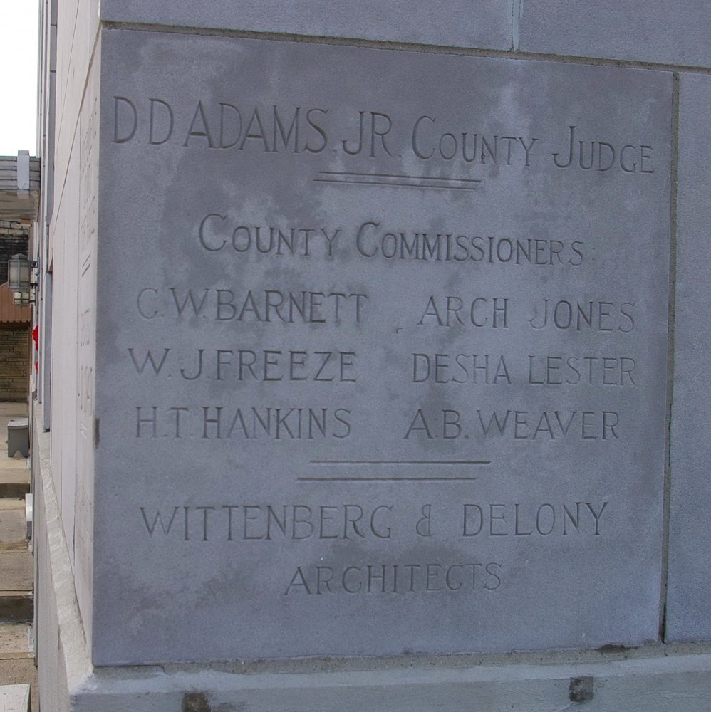
Architect: Wittenberg and Delony of Little Rock
Contractor: Works Projects Administration using local trades and labor
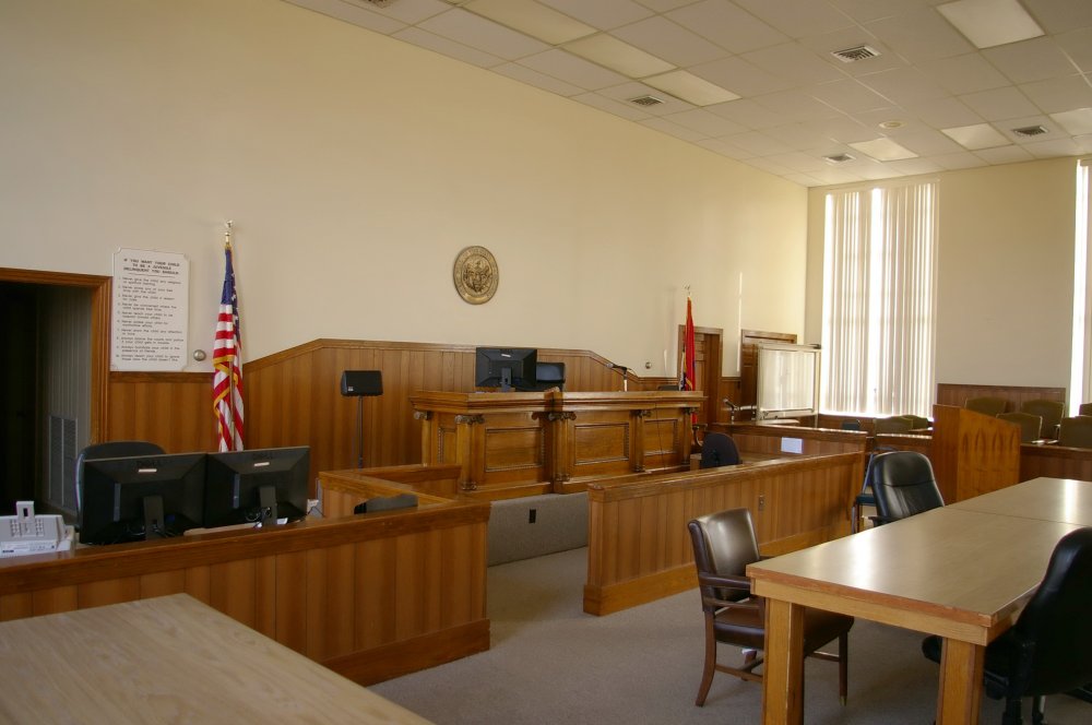
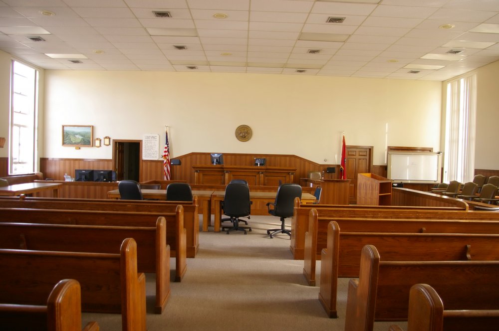
Description: The building faces northwest and is a two story gray colored marble stone and concrete structure. The building is located on landscaped grounds in the center of Batesville. . The lower east and west wings project. The recessed center section has a central entrance on the first story and vertical windows on the second story. The roof line is flat. The courtroom is located on the second story..
See: The courthouse is similar in design to the courthouse in Izard County
See: The 16th Judicial District includes Cleburne County, Fulton County, Izard County and Stone County.
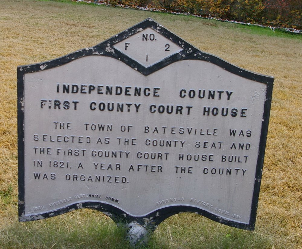
Note: The first courthouse was built in 1821. The second and previous courthouse was designed by Thomas Harding II and constructed by Frank Joblin in 1892 and burned in 1939.
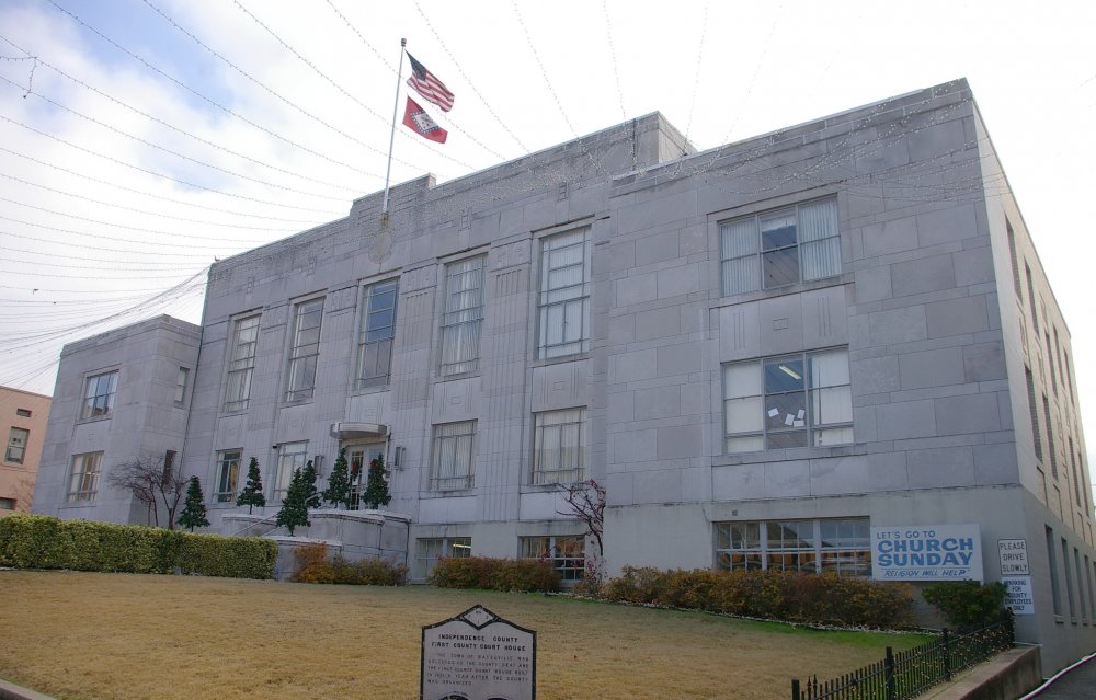
County Courthouse – Batesville
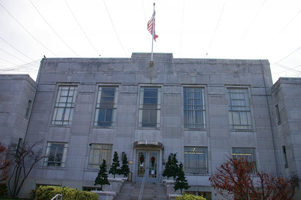
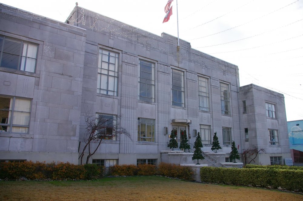
Photos taken 2011

